

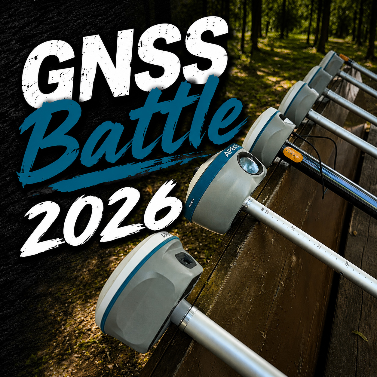


What is Rover in GNSS?
What is Rover in GNSS?
In the world of GNSS (Global Navigation Satellite System), the term Rover refers to a mobile receiver used to collect positioning data in the field. Unlike a base station, which stays fixed in one place, the Rover moves with the operator—whether that's a surveyor on a construction site, an engineer mapping roads, or a GIS professional tracking assets.
A Rover works by receiving satellite signals and, often in combination with correction data from a base station or network, delivers centimeter-level positioning accuracy. This makes it indispensable for tasks such as:
-
Land and topographic surveying
-
GIS data collection
-
Construction layout and monitoring
-
Precision agriculture
-
Utility and asset management
The Evolution of Gnss Rovers
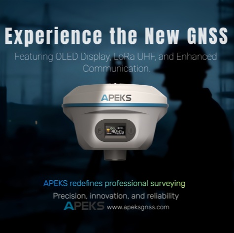
Modern Rovers are not just about accuracy; they are designed for mobility, speed, and reliability. They combine rugged hardware with intelligent features like IMU tilt compensation, laser measurement, and vision-based positioning, enabling professionals to work faster in challenging environments.
Apeks Next-Generation GNSS Rovers
At APEKS, we are proud to offer cutting-edge Rover solutions tailored for different needs:
-
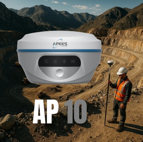
AP10 – Compact and lightweight, with 1408 channels and Tilt IMU 120° for reliable RTK performance. Offers a working range up to 15 km, with full connectivity (4G, Wi-Fi, Bluetooth, NFC) to streamline workflows. Perfect for everyday surveying and GIS applications.
-
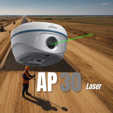
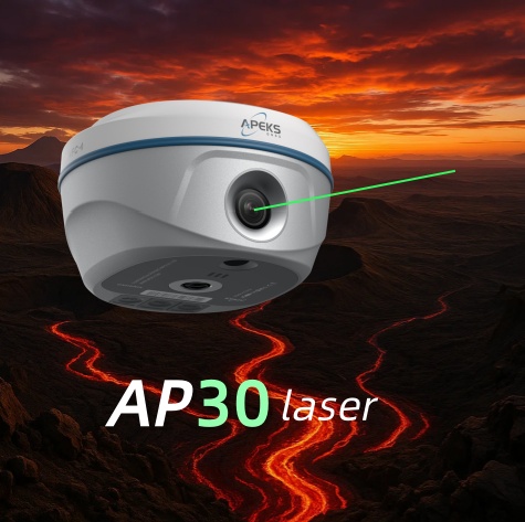
AP30 Laser – Equipped with 1408 channels and Tilt IMU 120°, supporting a 15 km working range and advanced connectivity. Adds laser surveying & AR stakeout, allowing professionals to measure precisely even in environments where satellite signals are obstructed.
-
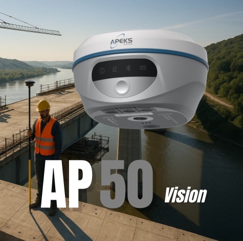
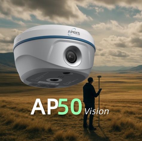
AP50 Vision – The most advanced in the series, with 1408 channels, Tilt IMU 120°, 15 km working range, and robust connectivity. Integrates photography, AR stakeout, and 3D modeling, making it ideal for high-tech construction, digital twin creation, and smart surveying.
Why It Matters
Whether you're surveying a large construction site or mapping utilities in dense urban areas, the Rover is your on-the-ground partner for accuracy. With the AP10, AP30 Laser, and AP50 Vision, APEKS ensures that professionals can choose the solution that best fits their workflow—balancing portability, advanced features, and cutting-edge innovation.
In short: a GNSS Rover is more than just a receiver—it's the key to turning satellite signals into real-world precision.